A Corsican under the ice
Denne artikkelen er over ti år gammel og kan inneholde utdatert informasjon.


Engabreen Fieldwork July 2015 by Alexandra Mattei
In my internship at the Norwegian Water Resources and Energy Directorate since June, I have been studying the glacier of Engabreen and its hydrology. This week was my first fieldwork at Engabreen.
The disorientation started on Tuesday when we arrived in Bodo. We took the road south to Glomfjord. Even if the weather was good according to the local newspaper, it felt cold to a Corsican person, but the scenery was so beautiful !
The next day, we took the boat across Holandsfjord, and I saw the glaciers of the Svartisen area for the first time. One of the most beautiful landscapes of my life !
After arriving on the other side, we hired bikes and cycled along the lake, and then hiked up to the Svartisen Subglacial Laboratory and for the first time I met Engabreen. The sun shone and the view was splendid ! For the fisrt time in Norway I was warm! The most incredible part of this trip was the discovery of the tunnels. There is a life with all the amenities you could need under the glacier !
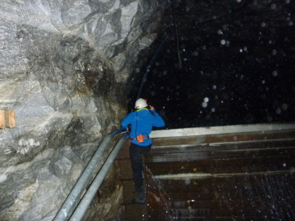
We started to collect the seismic data, and after that, Miriam showed me the different tunnels where water flows. This enabled me to realise the difficulty of the subglacial water measurements that I had been studying. Before that, I had spent almost two months at the office trying to understand the causes of the discontinuities and weird values in the measurements from these hydrological stations. In front of the hydrometric scale all these rapid increases and decreases of the discharge became very clear. Indeed, it seemed almost impossible to read the water level on the scale, as it changed all the time due to waves and blocks of ice.
After a full day of work, we hiked back to our cabin close to the lake overlooking Engabreen for the night.
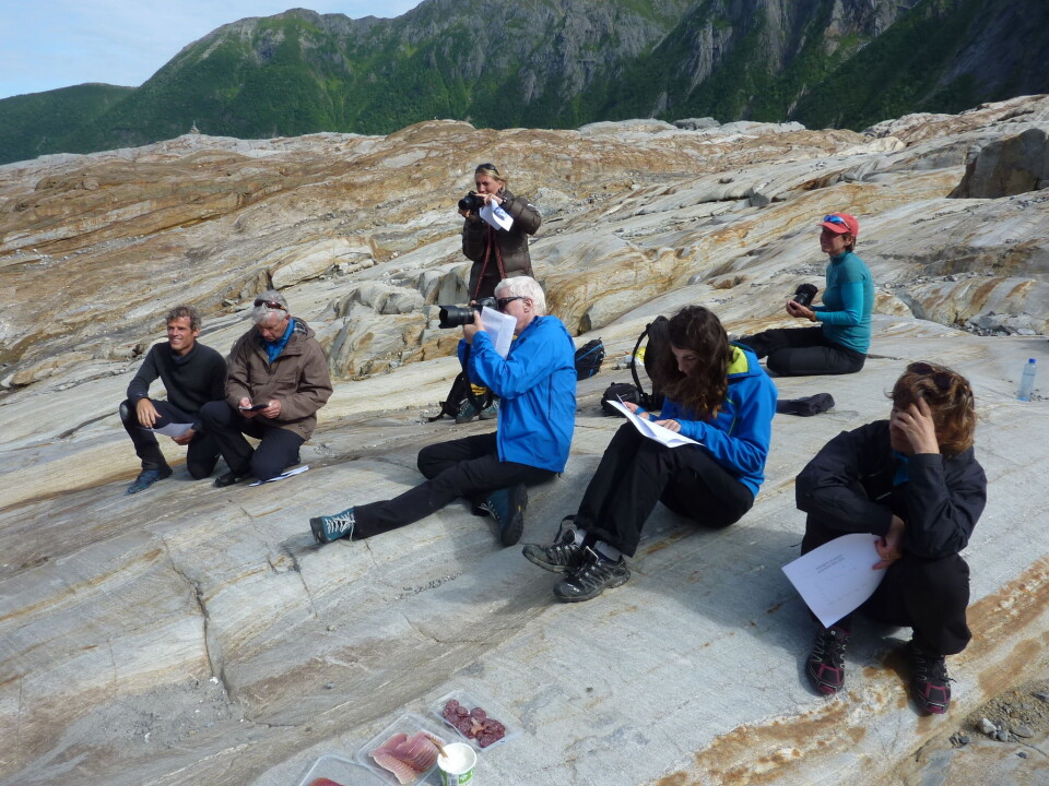
On the third day, we first went to the tongue of the glacier for a presentation related to the release of a new version of a map of the Saltfjell area. A copy of the map was inserted in a borehole at the glacier edge. The same thing had been done when the pervious version was released in 2007, but since then the glacier front had retreated 230 m ! It was very interesting to see for real the decline of the glacier and the modification of the landscape. After that, we started a very difficult hike up to Tåkeheimen to hear a jazz saxophonist. Such an incredible event !
The last day we went to the tunnel with Silje and Ingrid. The weather was very bad, very wet and very foggy so the hike was very slippery. I improved my level in sliding on rock, and now I am an expert !
It was the first time at Engabreen for Ingrid. Unfortunately she could not enjoy the beautiful view due to the fog. We collected the discharge data in the sediment chamber under the glacier and replaced batteries in the datalogger.. Then, we performed successful salt measurements in the sediment chamber to measure the hydrological discharge..
After that, we started a crazy run down the mountain so that we wouldn’t miss our flight to Oslo !
At the office this morning, I summarised this fieldwork in one word – AMAZING !
I’m looking forward to doing it again !
http://friluft.salten.no/forside/?News=63&template=news


